


contact us to discuss your project
WSSI knows that accurate location information is essential to the permitting and land planning process. Our surveyors work in concert with our engineers, scientists, archeologists, and compliance staff to provide the most precise location data, from existing site conditions and infrastructure to natural and cultural resources.
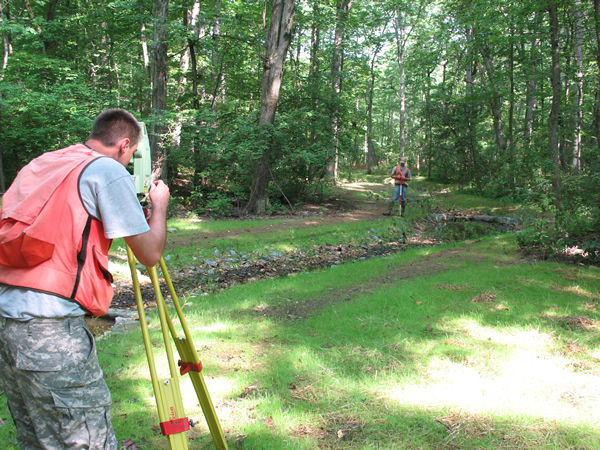
As-built survey of a stream restoration
Our staff includes licensed Land Surveyors, as well as wetland delineators, ISA Certified Arborists, certified HAZWOPER Hazardous Materials Technicians, E-Railsafe Contractors, and staff qualified to work in confined spaces.
WSSI stays abreast of the rapidly evolving survey technology revolution. We utilize Leica Geosystem instruments, including manual and robotic total stations, with the latest data collection hardware and software. We also use Leica GNSS GPS receivers and subscribe to their Smartnet GNSS RTK Network, allowing real time GPS surveying in 26 states and 5 Canadian provinces. Finished survey deliverables are produced using Autodesk software.
Surveying services* include:

Bathymetric survey using the Echotrac System
Wetland delineation surveys
Wetland impact and preservation area survey
Boundary surveys
Topographic surveys
Bathymetric surveys
Stream profiles and cross-sections
Construction stake-out
As-built surveys
House location surveys
Tree ID and location surveys
Endangered and threatened species surveys
Archeological site surveys (including graves)
Stormwater and sanitary utility surveys
Confined space surveys
*Offered in selected states; not offered in North Carolina